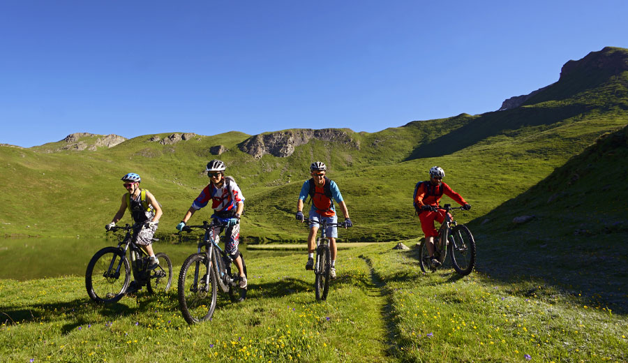
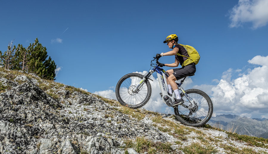
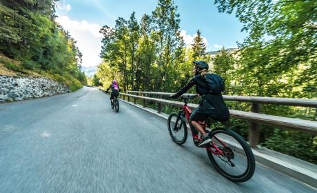
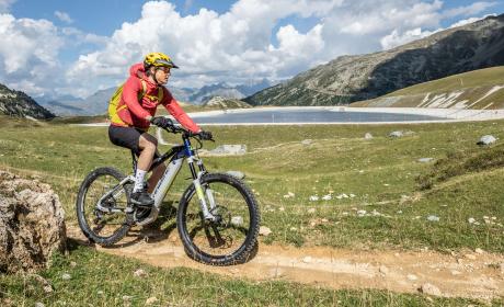
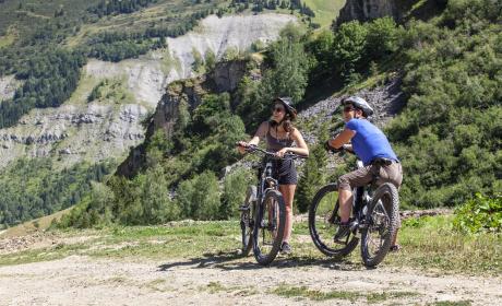
What is an electric bike?
It is a regular pedal bike fitted with a motor. Riders have to pedal to benefit from electrical assistance. The motor is powered by a battery which must be recharged regularly. The appeal of the electric bike is in covering long distances without tiring. The assistance can be switched off to travel a little further.
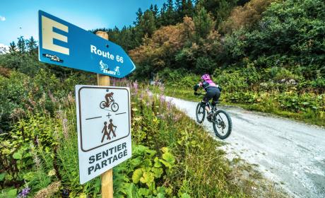
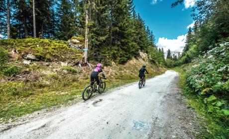
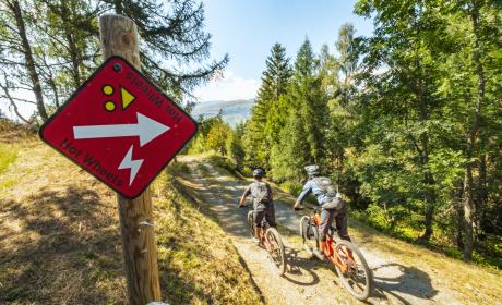
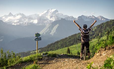
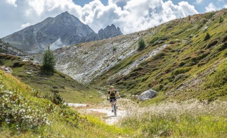
ROUTES ACCESSIBLE TO E-BIKE
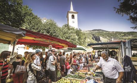
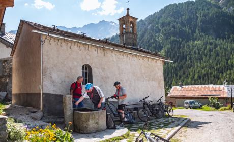
There are 5 routes, 4 of which start from the station in Bourg Saint Maurice. An opportunity to explore our delightful mountain villages using paths and routes specially designed for electric bikes.
ITINÉRAIRES VÉLO À ASSISTANCE ÉLECTRIQUE :
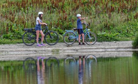
Along the Isère
A 4-hour circuit along which you can enjoy architectural heritage and local farmlands between the river and the forest.
+ Distance: 36Km
+ Height differential: 609 metres
Download the circuit and the GPX route
Along the Isère
A 4-hour circuit along which you can enjoy architectural heritage and local farmlands between the river and the forest.
+ Distance: 36Km
+ Height differential: 609 metres
Download the circuit and the GPX route
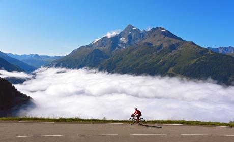
Through the hamlets and sunny Alpine meadows of the Dôme de Vaugelaz
An easy route of about 3 hours featuring some fine views of les Arcs, Mont Pourri and the summit of Bellecôte.
+ Distance: 33km
+ Height differential: 520 metres
Download the circuit and the GPX route
Through the hamlets and sunny Alpine meadows of the Dôme de Vaugelaz
An easy route of about 3 hours featuring some fine views of les Arcs, Mont Pourri and the summit of Bellecôte.
+ Distance: 33km
+ Height differential: 520 metres
Download the circuit and the GPX route
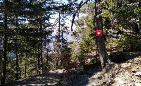
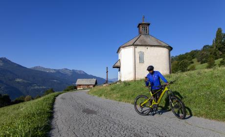
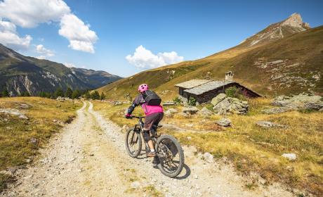
The remains of the Fort du Truc garrison
Head up to these defensive structures which were used to monitor the Alpine roads and cols.
+ Distance : 17km
+ Height differential: 742 metres
Download the circuit and the GPX route
The remains of the Fort du Truc garrison
Head up to these defensive structures which were used to monitor the Alpine roads and cols.
+ Distance : 17km
+ Height differential: 742 metres
Download the circuit and the GPX route
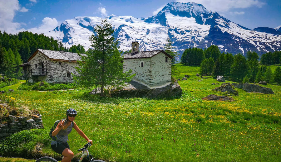
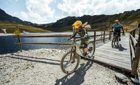
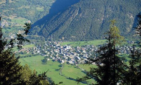
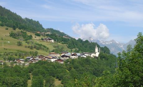
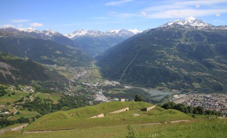
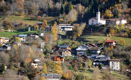
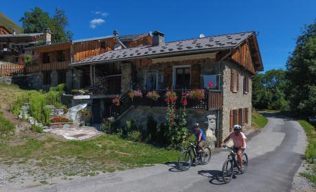
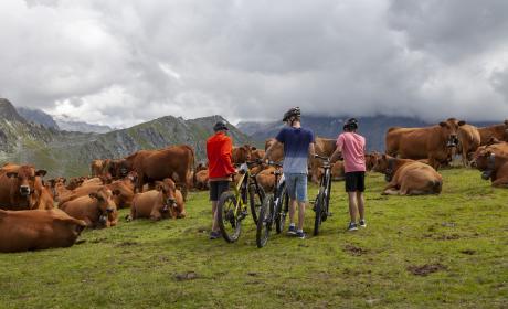
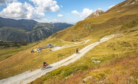
Exploring the Upper Tarentaise villages
This route alternately passes through traditional hamlets and follows the Isère. You will discover the charming villages of Montvalezan, Seez and Villaroger.
+ Distance: 30Km
+ Height differential: 954 metres
Download the circuitand the GPX circuit
Exploring the Upper Tarentaise villages
This route alternately passes through traditional hamlets and follows the Isère. You will discover the charming villages of Montvalezan, Seez and Villaroger.
+ Distance: 30Km
+ Height differential: 954 metres
Download the circuitand the GPX circuit
(copie 5)
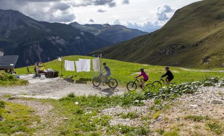
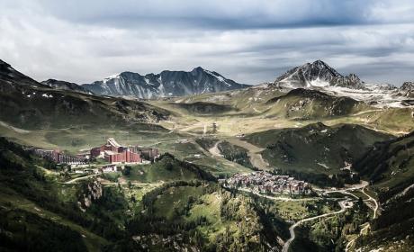
The Tour of the Aiguille Grive
Ride through the Alpine meadows of Peisey-Vallandry and the les Arcs Bike Park, alternating rural areas and resorts with architecture listed as 20th century heritage.
+ Distance: 32km
+ Height differential: 1300 metres
Download the circuit and the GPX route
(copie 5)
The Tour of the Aiguille Grive
Ride through the Alpine meadows of Peisey-Vallandry and the les Arcs Bike Park, alternating rural areas and resorts with architecture listed as 20th century heritage.
+ Distance: 32km
+ Height differential: 1300 metres
Download the circuit and the GPX route
You can comment on your experience, whether it be positive or negative, with this form, also available on line:
SHARE YOUR ELECTRIC BIKE EXPERIENCE ON ONE OF OUR 5 TRAILS