-
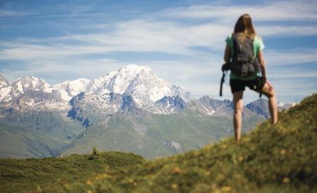
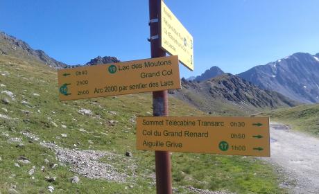
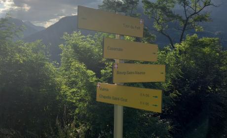
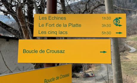
Find youritinerary

-
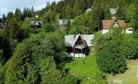
Book your stay

-
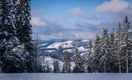
Buy yourski pass