-
Book your stay


-
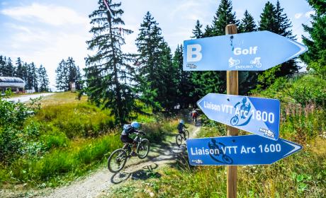
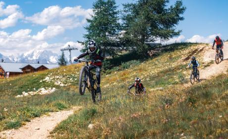
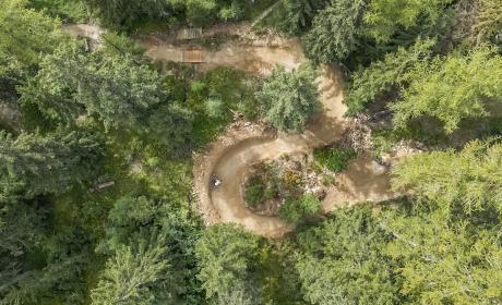
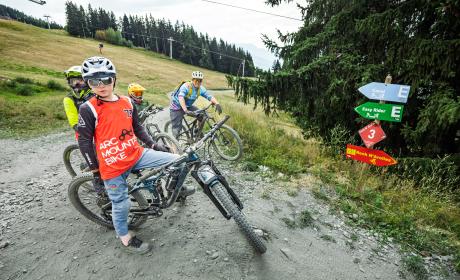
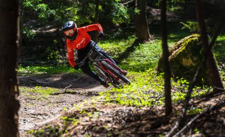
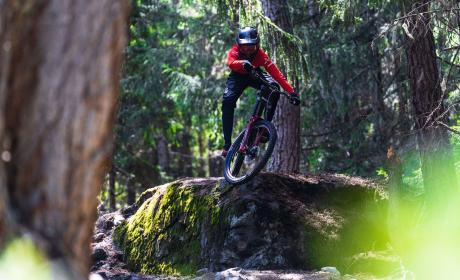
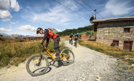
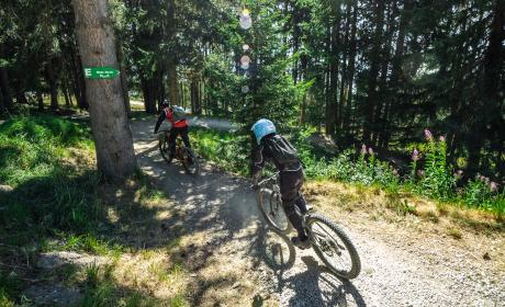
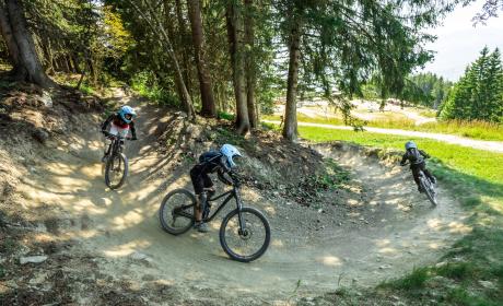
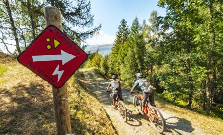
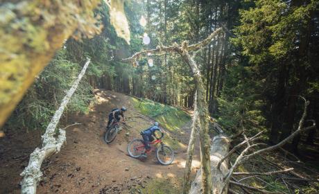
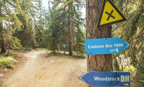
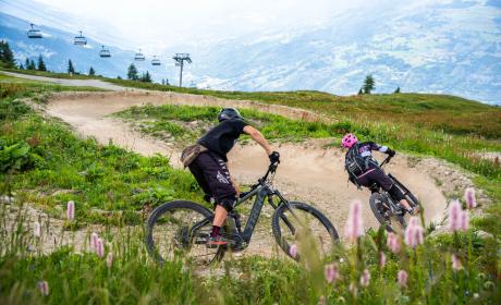
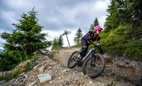
Buy yourmountain bike pass
-
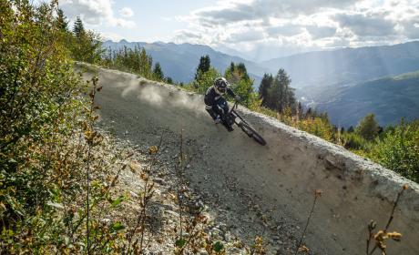
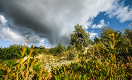
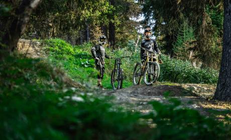
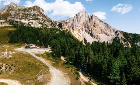
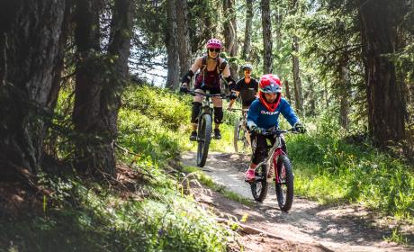
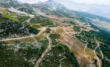
Discover30 summer activities


![[Translate to English:]](/fileadmin/user_upload/header-pike-park.jpg "[Translate to English:]")