-
Book your stay


-
Buy yourski & pedestrian pass
-
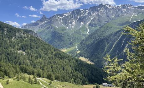
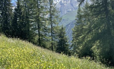
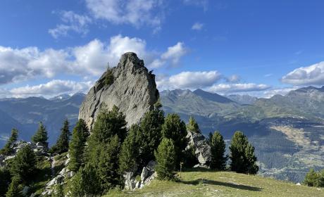
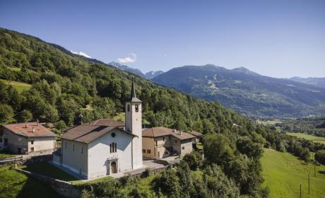
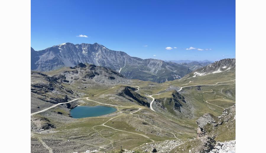
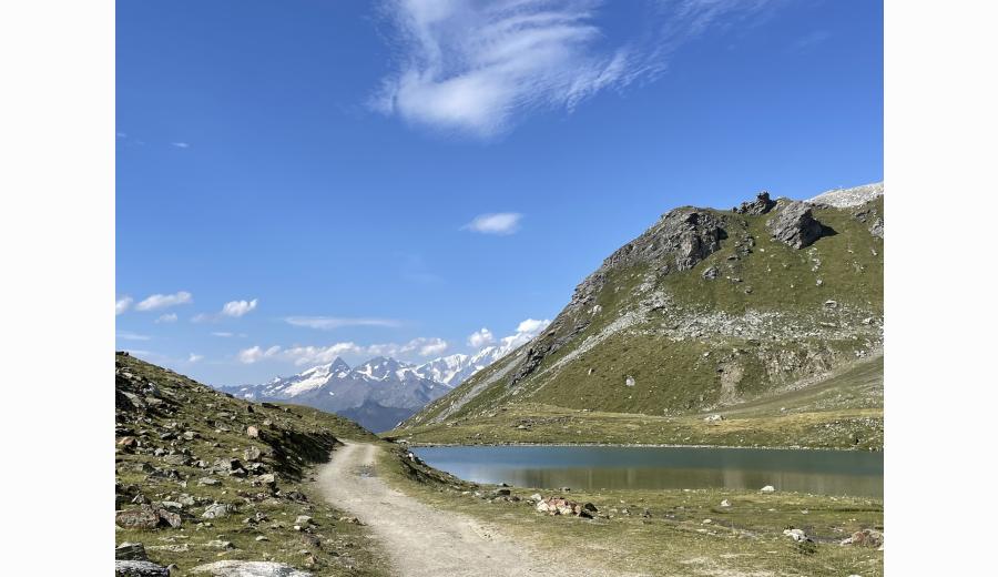
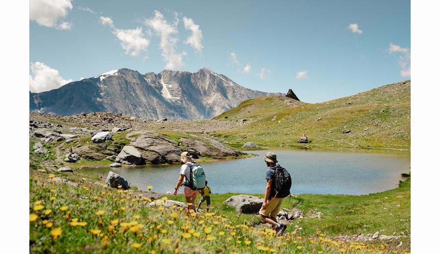
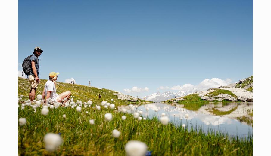
Discover30 summer activities