Tour de l’Avenir: check the road closures →

Book your stay

Monday 24 August updated on 08-24-2026 at 8:06
Monday 24 August updated on 08-24-2026 at 8:06
Sign up for our newsletter so you don’t miss anything in les Arcs !
From family strolls to energetic hikes, les Arcs’ summer area offers more than 200 km of walking trails with 6,700m of cumulated gross ascent. Truly somewhere for exploring the great outdoors with something for everyone …
Whether you prefer family walks or challenging hikes, the summer domain of Les Arcs offers more than 200 km of hiking trails with a total elevation gain of 6700m. A true natural playground for exploration, there's something for everyone to enjoy...
Hiking with others becomes a moment of sharing and connection. You can also be accompanied by professionals who will guide you, offer advice, and help you discover our region and its hidden treasures. To do so, you can contact our specialized partners.
The free hiking map helps you explore trails in the Les Arcs, Peisey-Vallandry, Villaroger, and Bourg Saint Maurice areas. Additionally, an IGN-style 1:35,000 map is available with over 60 marked trails on the Les Arcs side and the Sun side. Available for purchase at Tourist Offices.
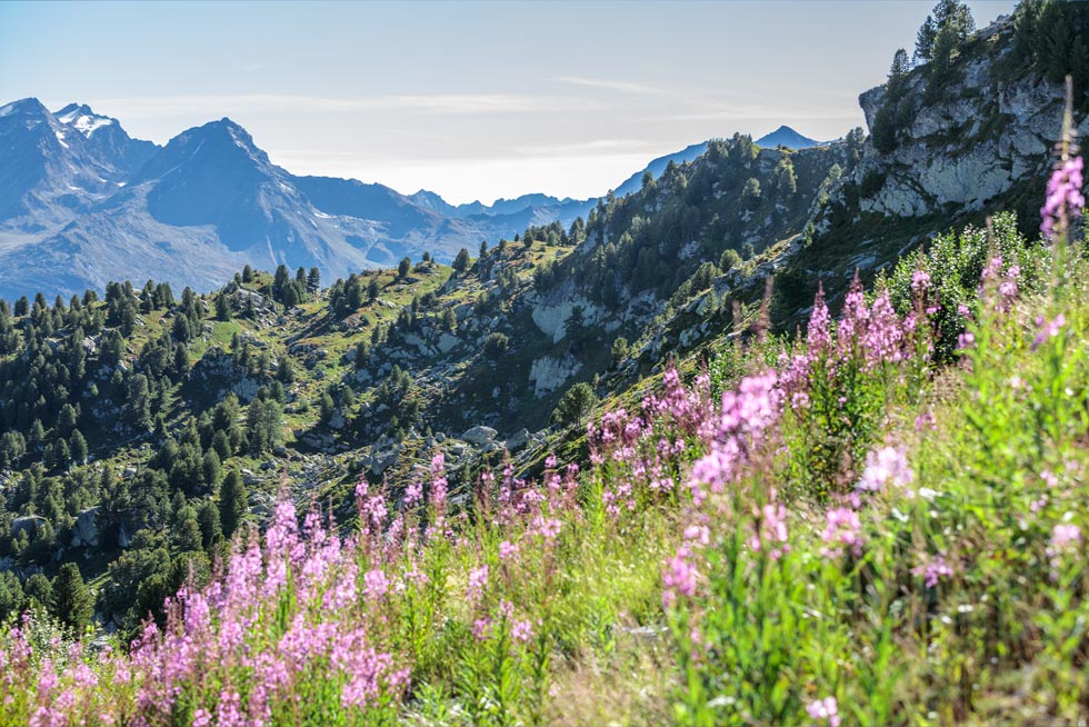


en contrebas du parking couvert du Mont Blanc
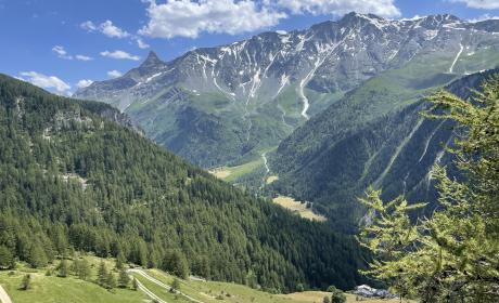
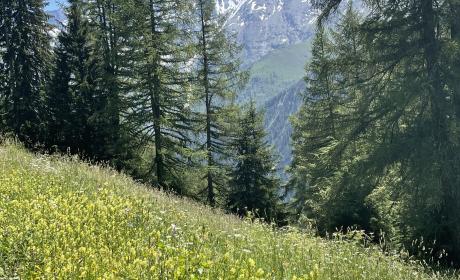
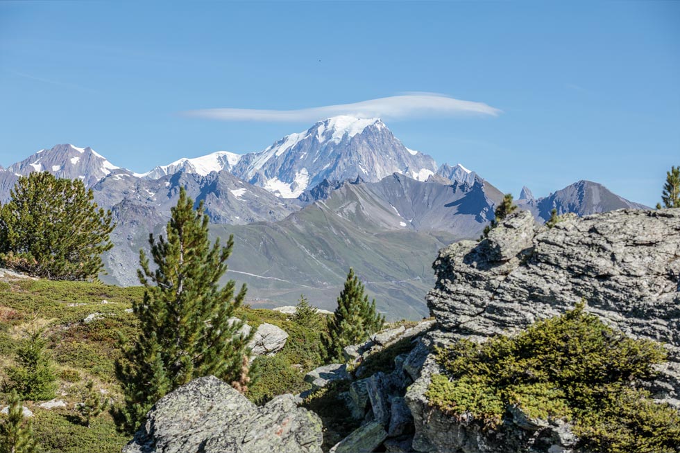
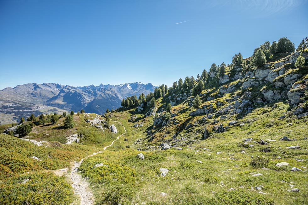
Magnificent view of Mont Blanc and the Arolles forest.
Walkers/hikers
4.63 km
217m D+
Durée : 1h45
Altitude moyenne : 2183m
Altitude maximum : 2350m
Type de parcours : Boucle
Take the Tour du Droset track after the entrance to the Mont Blanc car park.
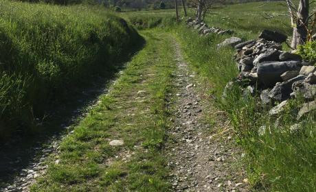
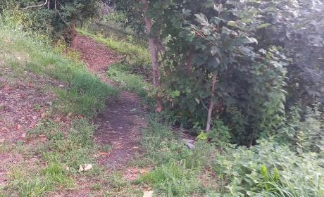
Moderately difficult walk, sometimes with progressive ascent, paths not too narrow.
From 04/07 to 30/09.
Subject to favorable snow and weather conditions.
L'itinéraire est balisé.
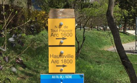
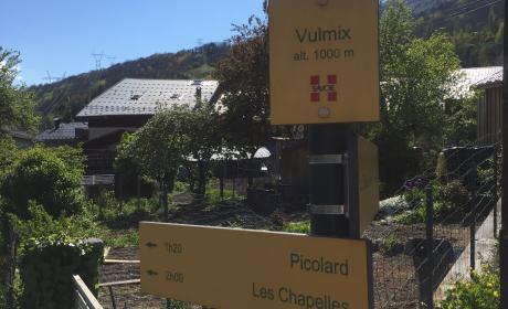
yellow sign.