-
Book your stay


-
Buy yourmountain bike pass
-
Discover30 summer activities


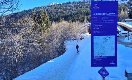
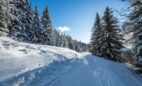
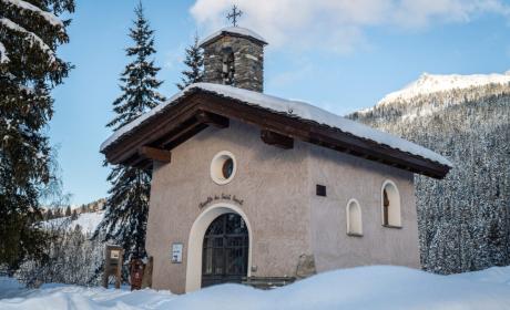
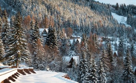
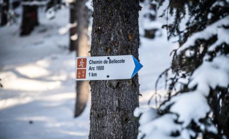
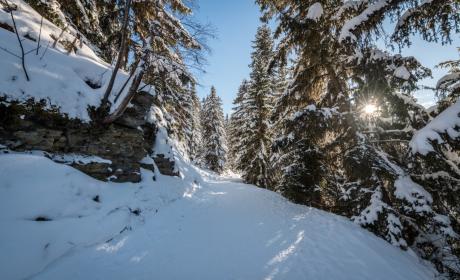
![[Translate to English:]](/fileadmin/user_upload/%40Yann-Allegre---sortie-raquettes-27_c_Yann-Allegre---ABT-Sortie-Raquettes-_64_.jpg "[Translate to English:]")