See you on the slopes until 27 April

LIVE

Sunday 28 April updated on 04-28-2024 at 8:06

Book your stay Buy yourski pass Find youritinerary


Walks & Hikes

Walking alone is a chance to dream and admire the scenery while enjoying the silence offered by wide open spaces.

Walking in a group becomes a moment for sharing and conversation. You can be accompanied by professionals who will be there to offer advice and show you our area and its hidden treasures.

When choosing the route which suits you best, you must take account of the weather, your physical fitness and, of course, your wishes. Take the time to gather information to discover all the opportunities on offer to you.

The free walking map will show you the routes in the les Arcs, Peisey-Vallandry, Villaroger and Bourg Saint Maurice sector. Also available to you is an IGN (UK= Ordonnance Survey) 1/35th scale map and the topographical map with more than de 60 marked routes on the les Arcs-Bourg Saint Maurice slope and the versant du Soleil. On sale in Tourist Offices.

Brochure
Walks & Hikes

Parchet Montgirod

départ de l'office de tourisme

Sentier à travers la forêt et les prairies avec une belle vue sur la vallée et les montagnes environnantes. ATTENTION : OUVERTURE DE LA CHASSE DU 10/09 AU 28/01

Level bue - Medium
261m D+ 143m D-

Durée : 1h20
Altitude moyenne : 916m
Altitude maximum : 1060m
Type de parcours : Boucle

Descriptif

From the train station take the “Avenue de la Gare” turn left into the “Grande rue” and follow all the way to the church. Continue straight on to the “Rue Jean Monnet” as far as “La Residence” and turn right. Cross the bridge and descend on the left for 200m towards “Le Reverset”. Take the path on the right and follow the signs to the village of Vulmix. Take a tour of the famous Saint Grat chapel or the Fort. (Enquiries at tourist office.)

Opening period

All year round.


Subject to favorable snow and weather conditions.

Balisage

L'itinéraire est balisé.

Précisions balisage

Le sentier est indiqué par des panneaux jaunes avec une inscription en vert.

Vous pouvez également trouver des rectangles jaunes sur les pierres ou les bassins

Descriptif « pas à pas »

1/ Au départ de l'office de tourisme de Bourg St Maurice, prendre la direction de la place de la mairie, puis la rue piétonne, passer devant l'église.

2/ Au croisement prendre la route indiquant "Les Chapelles".

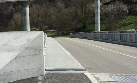
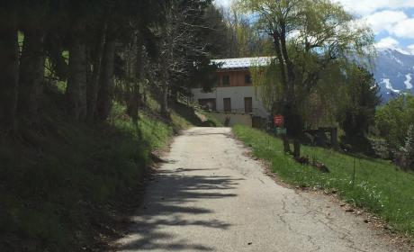
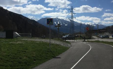
3/ Traverser le pont de l'Arbonne puis redescendre vers le Reverset.

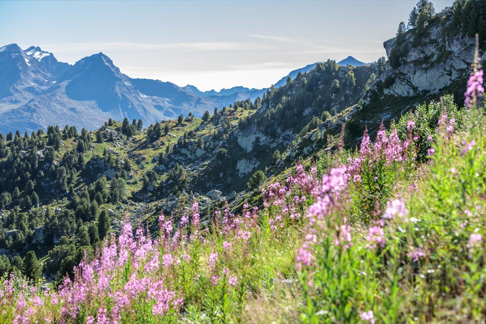
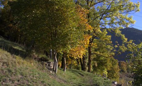
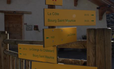
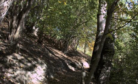
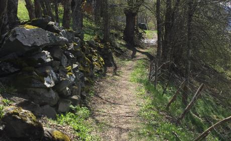
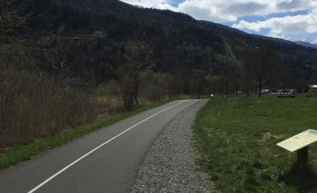
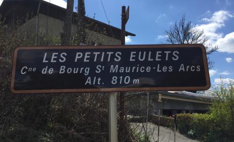
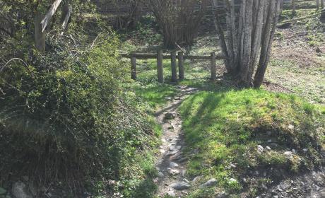
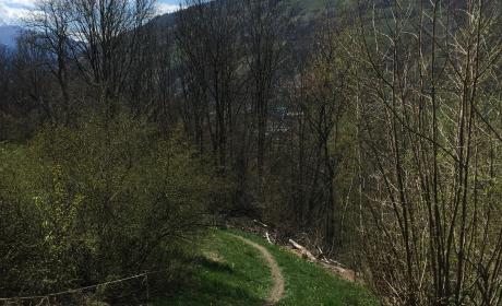
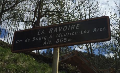
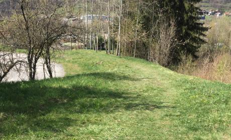
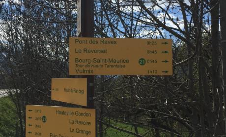
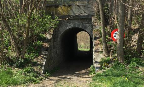
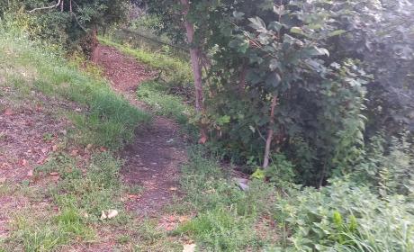
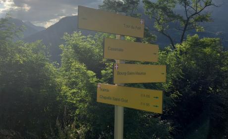
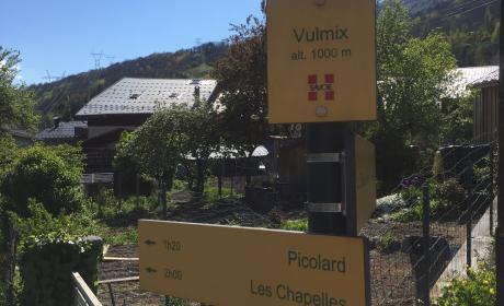
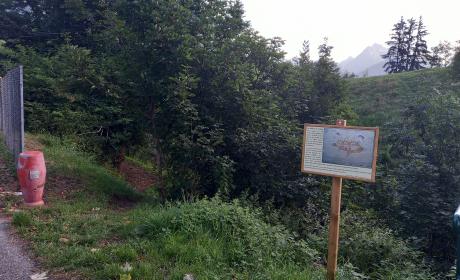
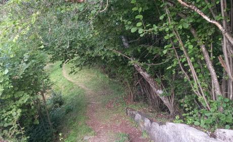
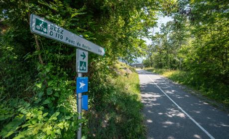
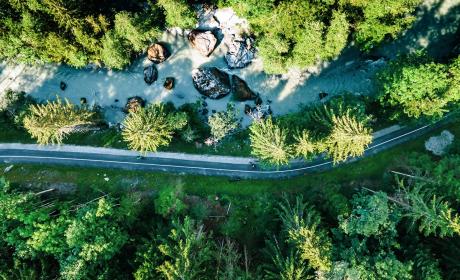
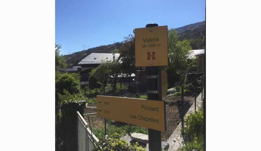
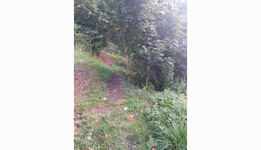
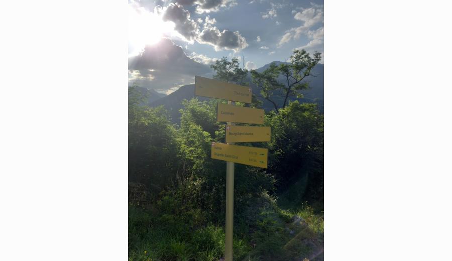
4/ Juste après la maison isolée vous trouverez des panneaux jaunes indiquant le village de Vulmix. La balade se fait dans les bois puis en clairière.

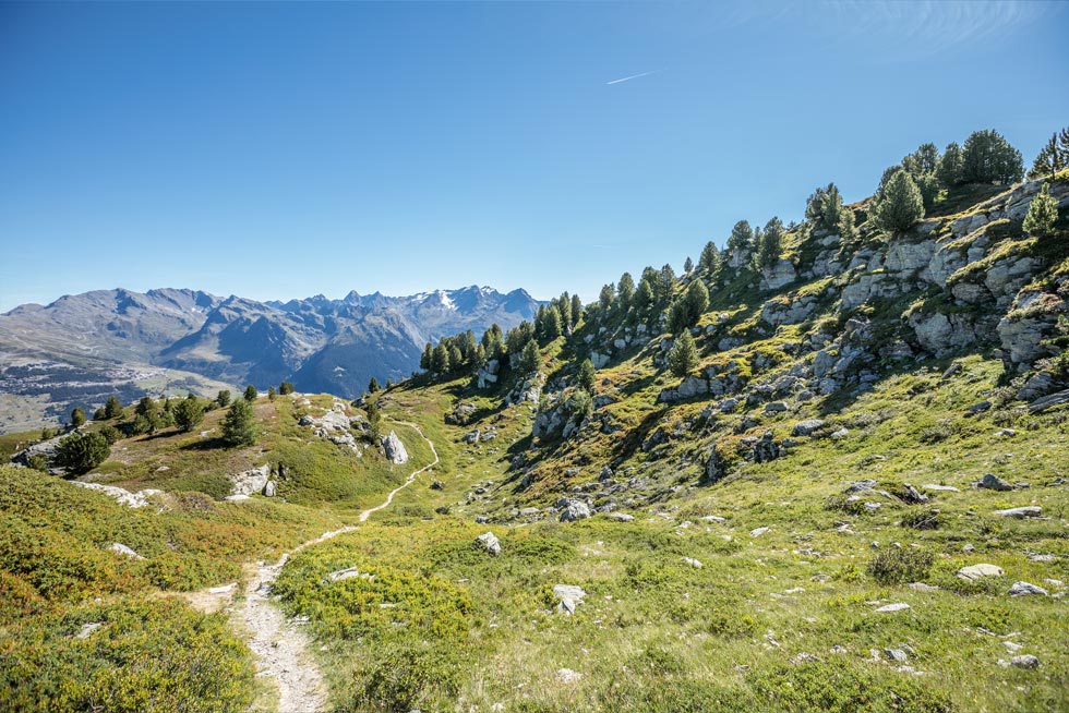
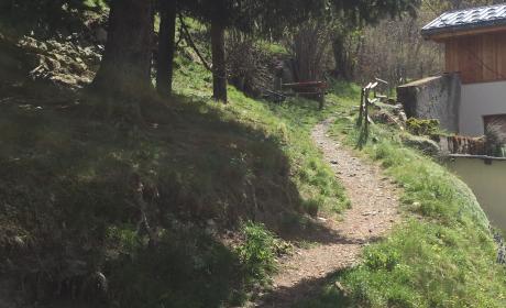
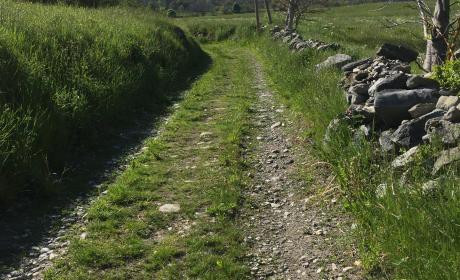
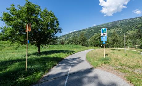
5/ Traverser la route pour récupérer le chemin qui vous mènera jusqu'au village de Vulmix.

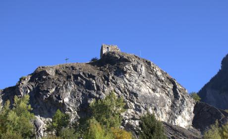
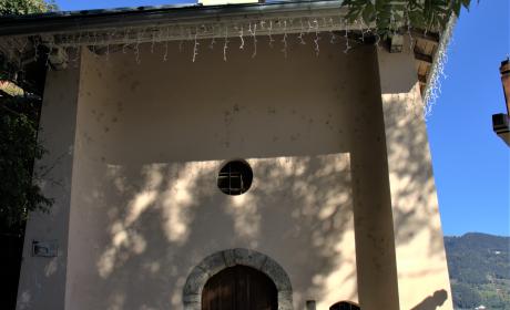
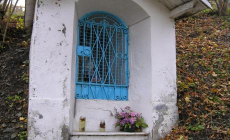
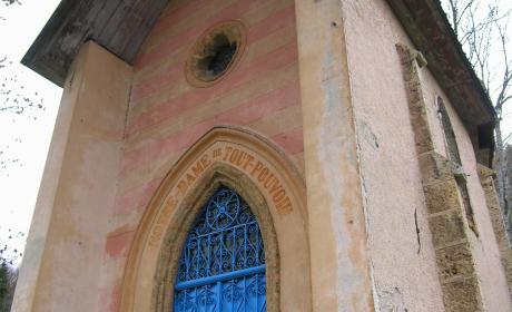
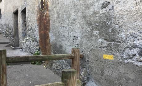
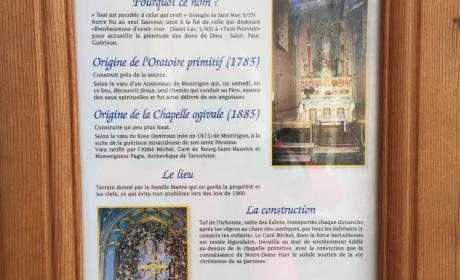
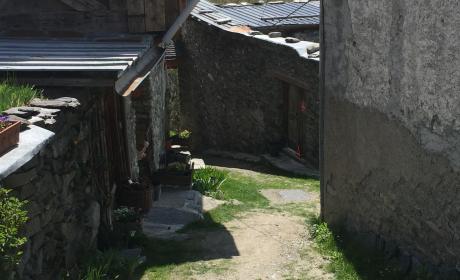
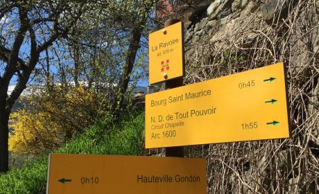
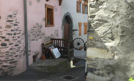
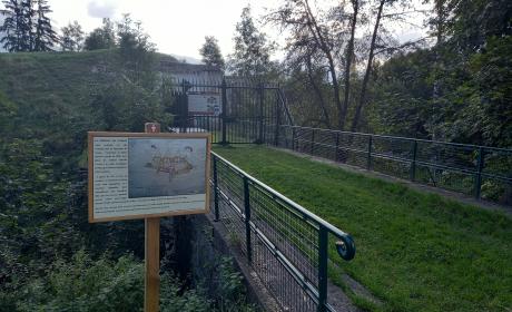
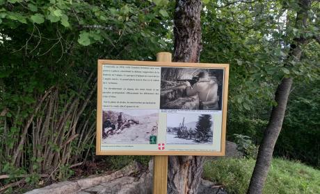
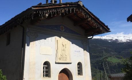
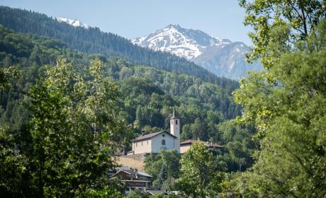
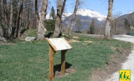
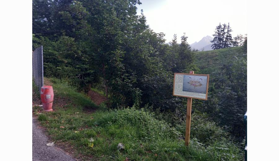
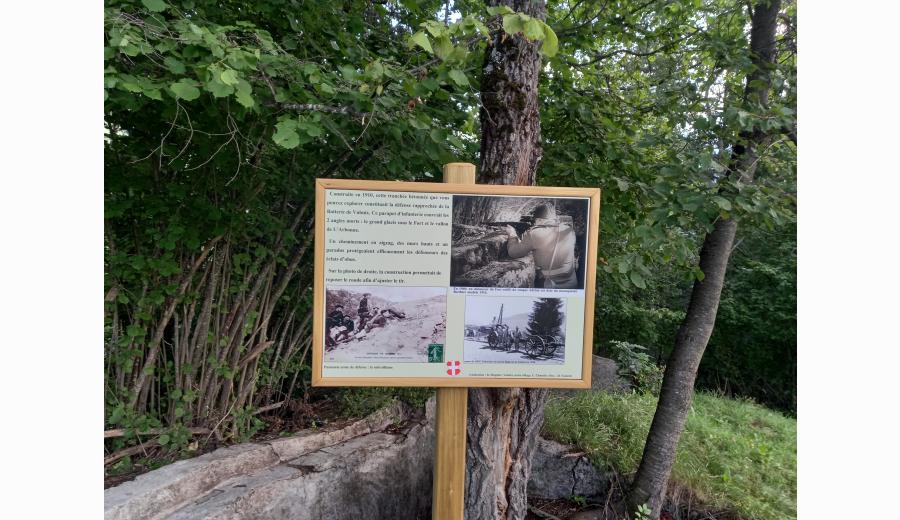
6/ Lorsque vous êtes devant la Chapelle St Grat, vous avez la possibilité de continuer votre balade vers le Fort de Vulmix qui se visite puis de suivre les indications des panneaux jaunes pour revenir sur Bourg Saint Maurice par le sentier du Fort.