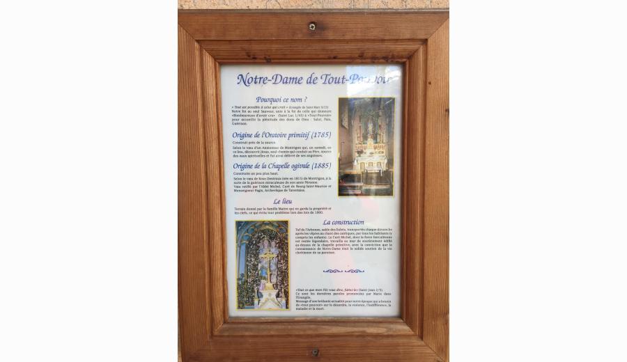
-
Book your stay


-
Buy yourmountain bike pass
-
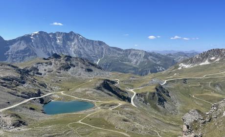
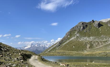
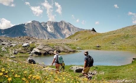
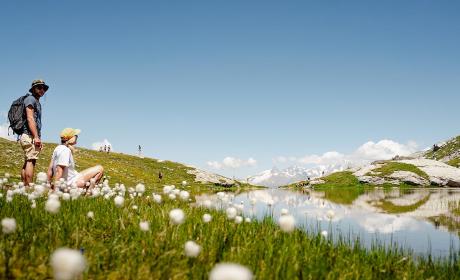
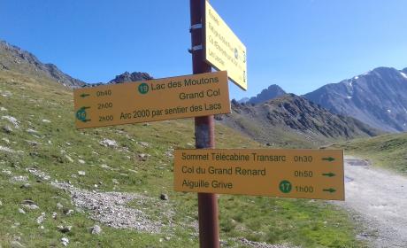
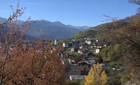
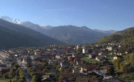
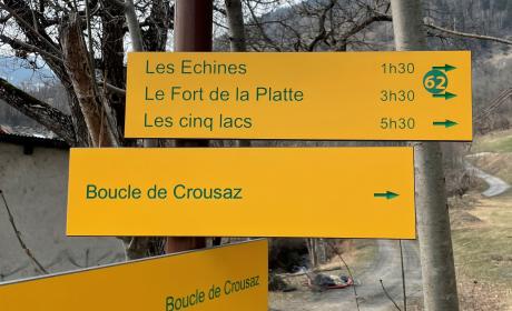
Discover30 summer activities